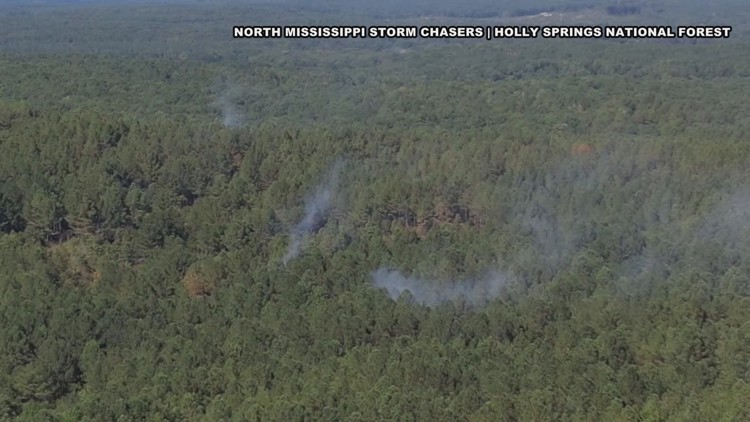
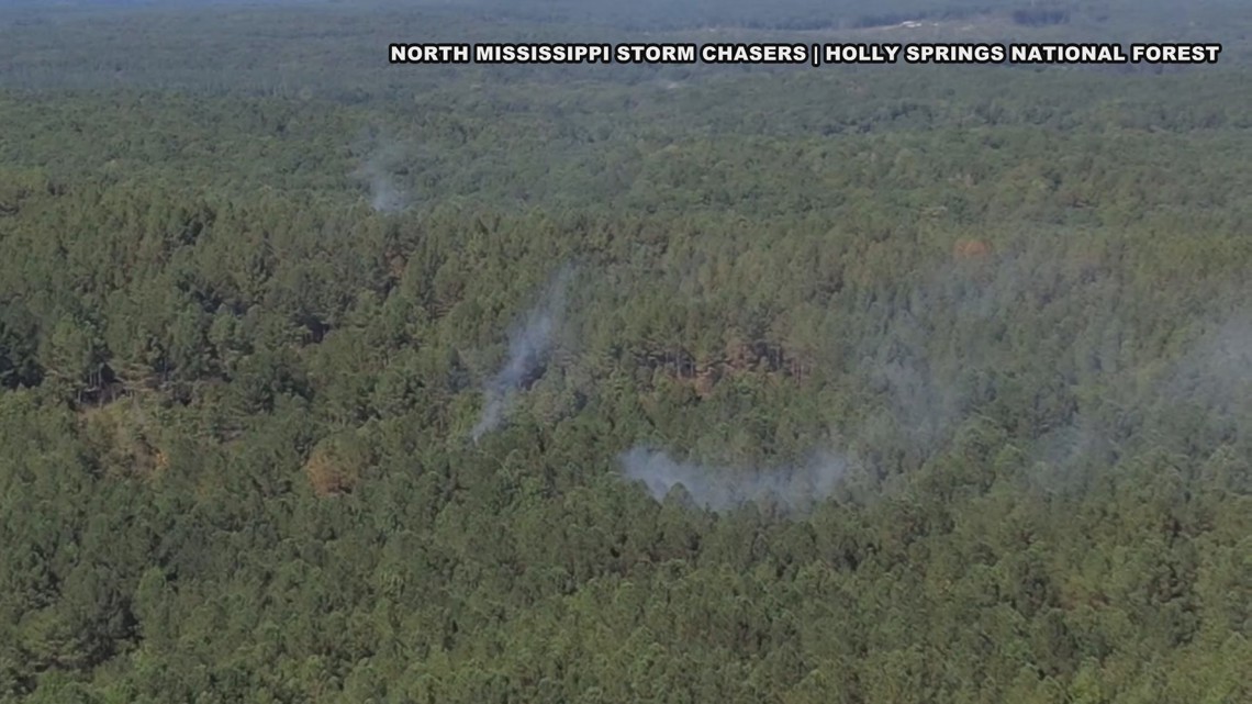
MEMPHIS, Tenn. — Our weather has been rather dry recently here in the Mid-South. If we look at Memphis on August 21st, we are around 3 inches behind average rainfall with likely a week or more ahead with no rain in the forecast. Our partners at the North Mississippi Storm Chasers caught images on Wednesday of a brush fire in Holly Springs National Forest. Scenes like this may become more common in the weeks ahead if the forecast continues to stay dry. If you look at weather history in the Mid-South, this dry weather is pretty common and lines up with what we are seeing right now.

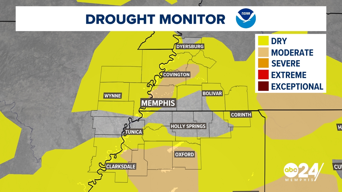
As of August 21st, drought has begun to pop up in the Mid-South with an expansion very likely later in the week as many locations in the region have picked up little to no rain so far this month.

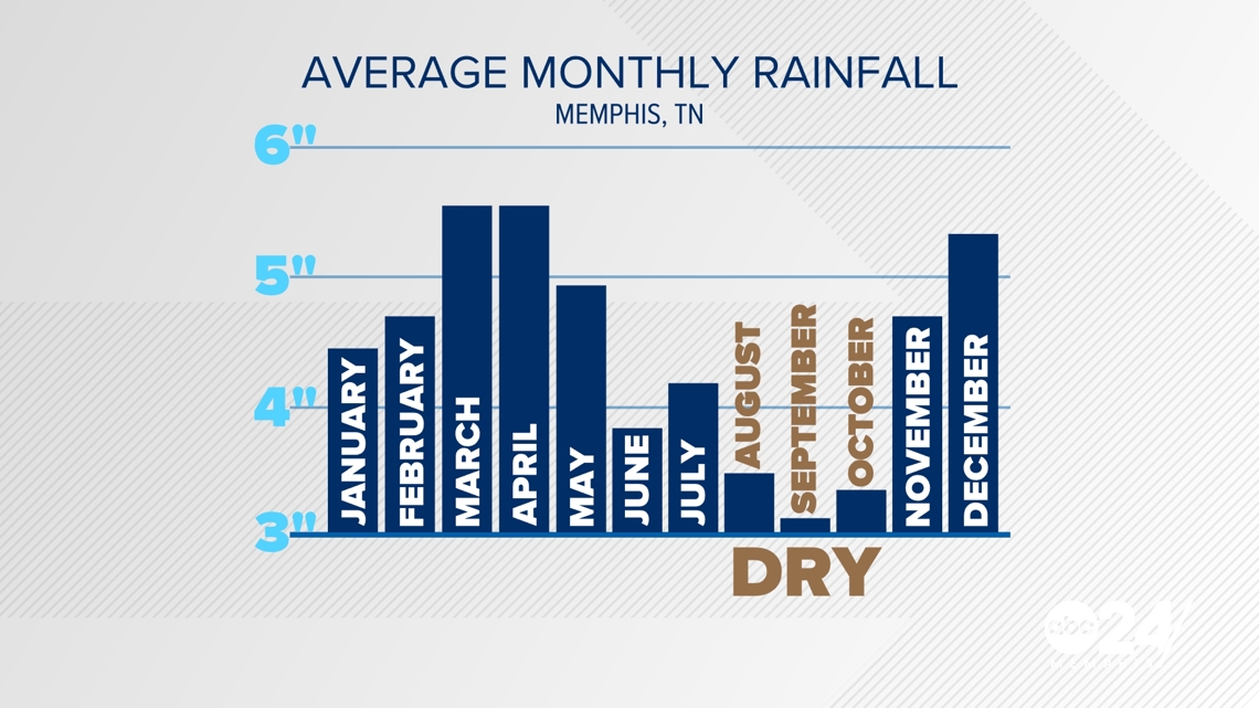
Looking at climatology in the Mid-South this type of weather leading to drought is actually fairly typical. In Memphis, our "Dry Season" is clearly the months of August through October with September traditionally being our driest month.

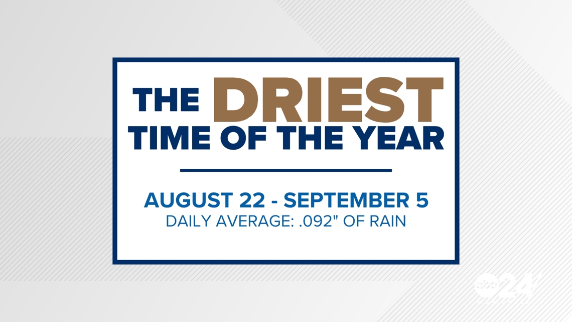
If you look a bit more closely at the data, you can pinpoint the 2 weeks of the year that end up being the driest. Interestingly enough the period of August 22nd through September 5th is historically the stretch of driest weather for the city of Memphis. This period begins on Thursday of this week.

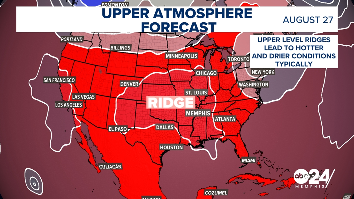
The reason this year, why we expect this dry weather comes down to what we see in our upper atmosphere. A feature called a ridge will be over the central and southern US through the end of the month. This typically promotes drier and hotter weather at the surface which is what we are expecting in the forecast for Memphis right now.

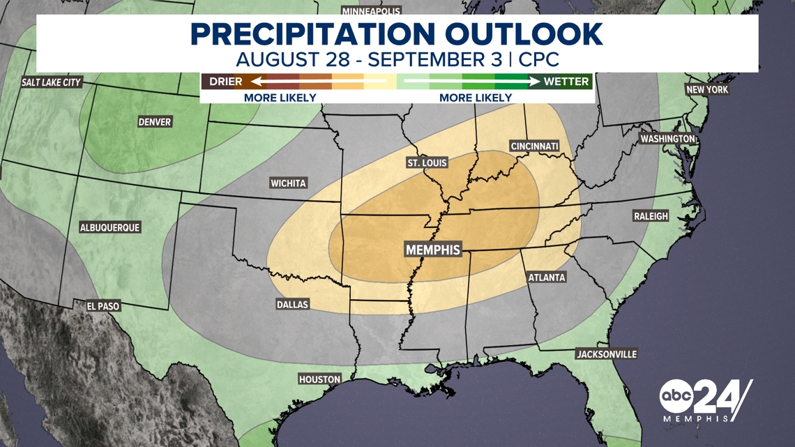
This weather pattern explains the forecast the Climate Prediction Center has put out for the end of the month which shows below-average rainfall expected where this ridge is going to be placed.

