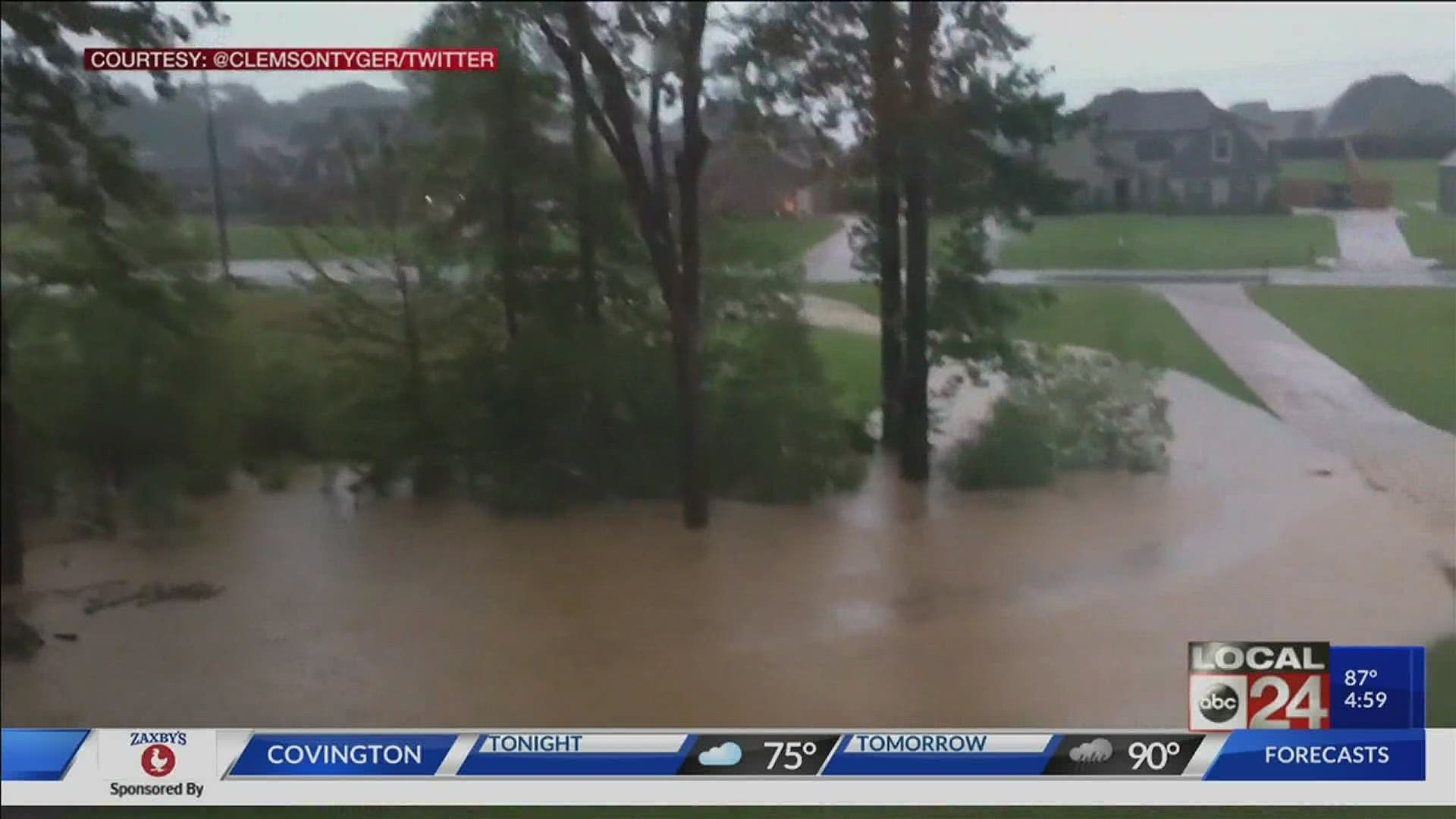
MEMPHIS, Tenn. — After multiple rounds of heavy rain over the past 24 hours, Cristobal is finally headed north and out of the area. But not before leaving one last impact.
Tuesday morning, we saw heavy rain, but one storm in particular was slowly training, producing nearly 100 strikes of lightning - but more importantly, the biggest impact was the close to four inches of rain within an hour in several counties. That prompted a "Considerable" flash flooding and Flash Flood Warnings for DeSoto, Marshall, and Benton counties in Mississippi, and Shelby and Fayette counties in Tennessee as of about 10:30 a.m.
DeSoto officials have said flooding made several roads impassable. Creeks are looking more like white water rapids.
In Collierville, the police blocked roads as water rush over them.
Here is a list below of the known areas of trouble. We will update as more information becomes available:
Fleming Road between Shelby Drive and Collierville Road was closed due to flooding, which has since receded.
Shelby Drive flooded between Houston Levee and Quinn Road.
In Desoto County, Miller Road closed between Bethel Road and Hwy 178 due to flooding.
In north Mississippi, Camp Creek in Olive Branch is incredibly swollen looking like whitewater rapids.
One to two feet of water being reported in the Hamlet subdivision in southeast Oxford, Mississippi, near Lamar and Mimosa.

