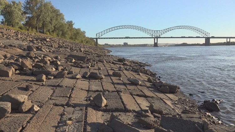
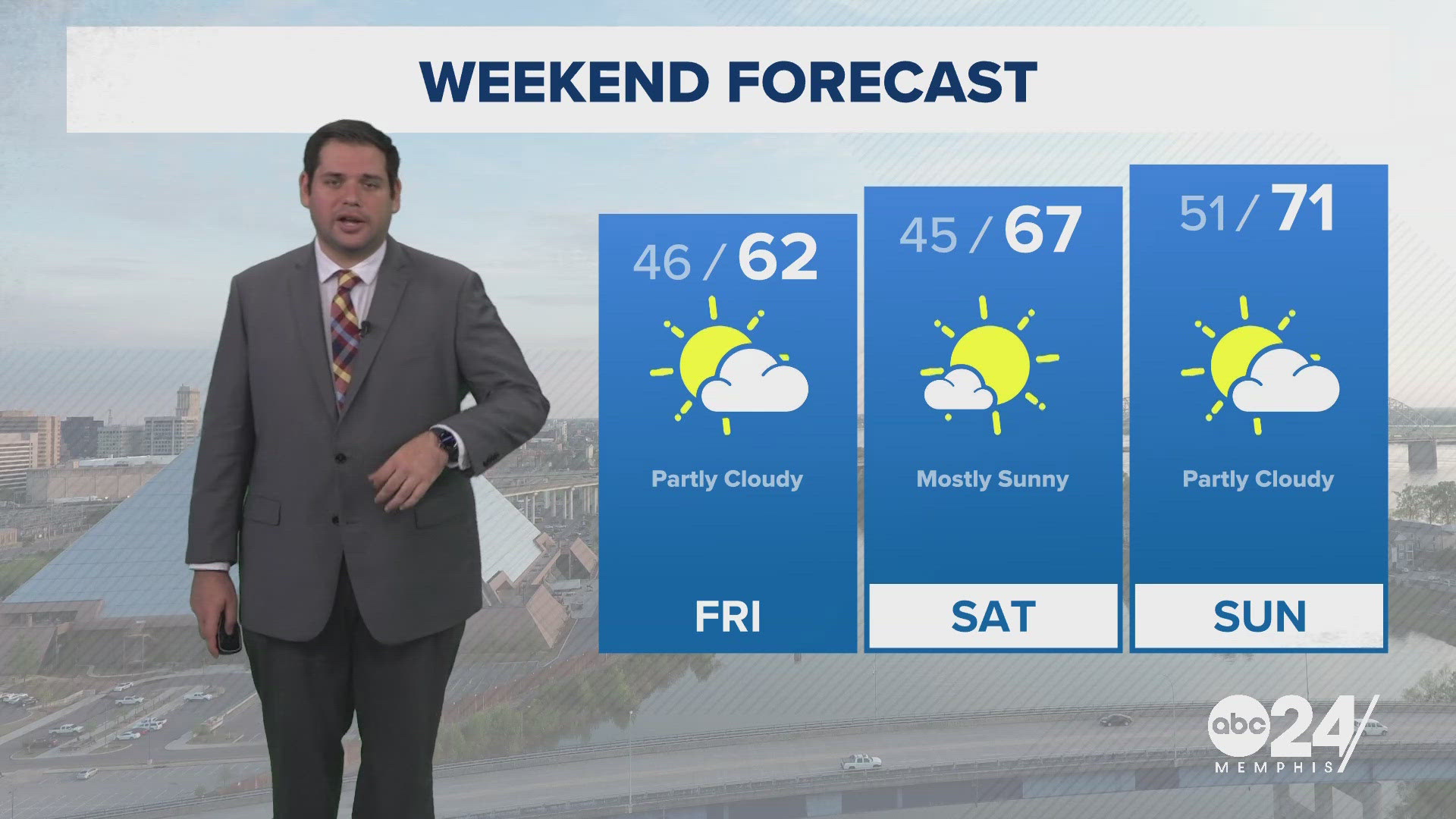
MEMPHIS, Tenn. — It has been quite some time since portions of the Mid-South has seen rain. This week, looks to be the hottest stretch of weather so far in 2024, and the lack of rain is not only playing a role right now but, is setting up conditions we could be seeing going into September.
As of August 26th, Memphis has only recorded .2 inches of rain for the entire month. While there are some small chances of rain potentially later in the week, it is possible this could set the record for driest August in Memphis since 1940, the previous record was set at .41 inches in 1943.

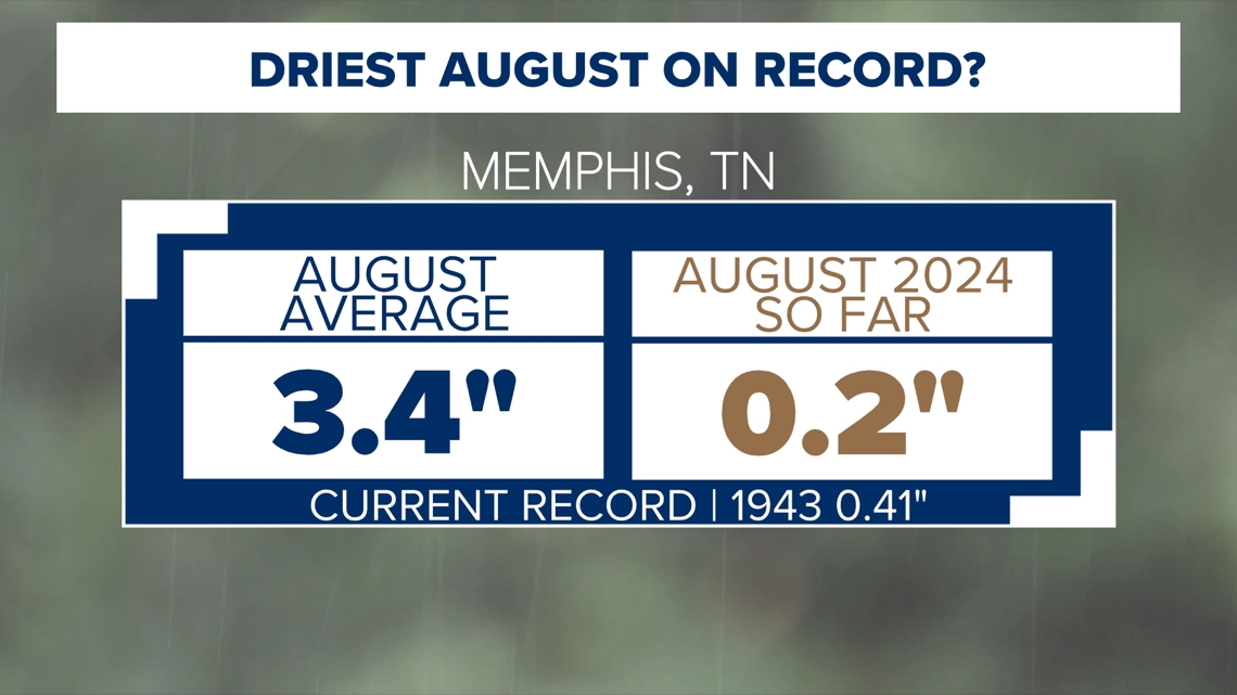
This lack of rain as already led to some drought conditions across the Mid-South but it is very likely things will get worse very quick especially with the heat expected this week.

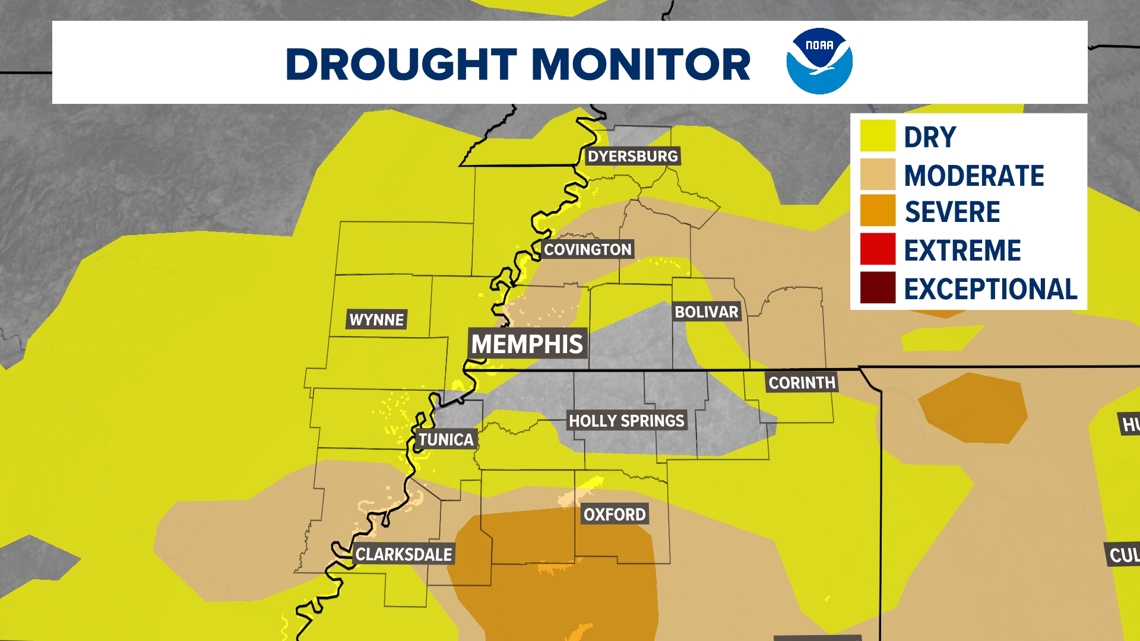
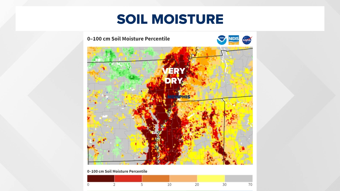
If you look at satellite data collected by NASA and NOAA, you can see what is the drying out of our soil and how bad it is getting. Looking at the graphic below, the Mississippi River and surrounding areas in the Delta have become extremely dry recently. Most of this region is farmland or wetland and does not contain trees like areas east of the river. This is why it sticks out so clearly. We are starting to see some of those very dry soil moisture grow into Northern Mississippi and Western Tennessee though as dry conditions continue.


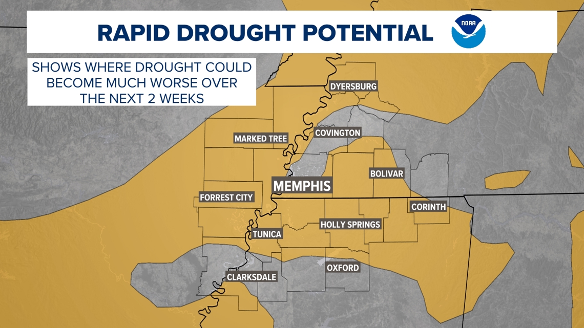
This has led to the Climate Prediction Center including most of the Mid-South in the potential for rapid drought potential over the next 2 weeks. While, there are some smaller rain chances at the end of this week, the very dry month of August has set us up for needing multiple inches of rain to stop the increase of drought. As of right now that does not appear to be in the forecast any time soon.
The latest drought monitor comes out every Thursday so keep posted and the ABC24 weather team will keep you up to date as drought likely worsens for the latest impacts that we can expect.


