MEMPHIS, Tenn. — Feb. 25 through March 2 is Severe Weather Awareness Week in Tennessee. This week serves as a time to talk about the threats of severe weather and how we can prepare for them. This article will be one of a few going over the main types of severe weather here in the Mid-South over the next few days.
Severe weather is determined by three different factors: wind, hail and tornadoes.
Tornadoes are probably the most talked about severe threat, and for good reason. They can impact entire communities and change the lives of those that are impacted.
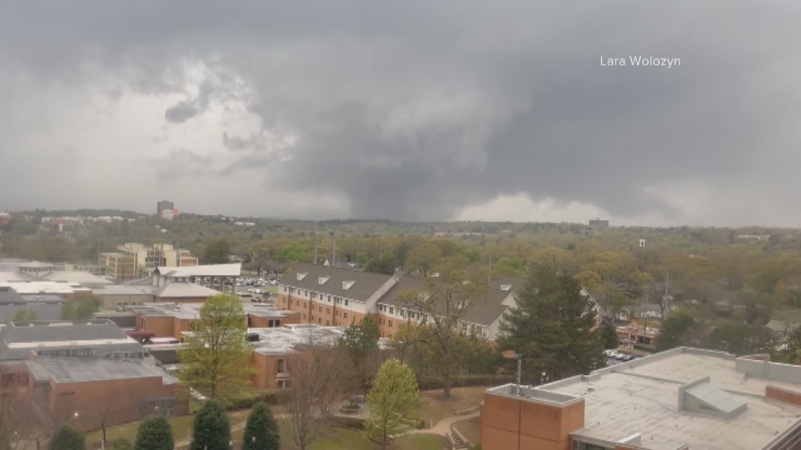
The Mid-South is no stranger to tornadoes. It was just last year that a severe weather outbreak impacted our area including the devastating Wynne, AR tornado.


With that being said, let's talk about how tornadoes form in the first place and how we can assess their damage.
The biggest ingredient for tornadoes is something we call "shear," which is when we see a difference in wind speed or direction with height. Generally speaking, the higher values of shear we see, the higher the tornado risk.
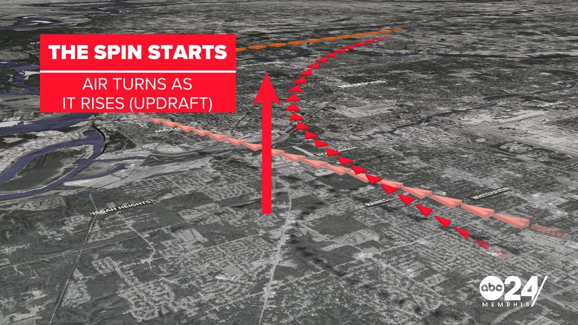
In a "perfect" tornado setup for us here in the Mid-South, winds will come out of the South or Southeast at the surface with mid-level winds coming out of the west. Storms are driven by upward motion called updrafts, so, as these updrafts rise, they begin to turn, which causes spin in storms.


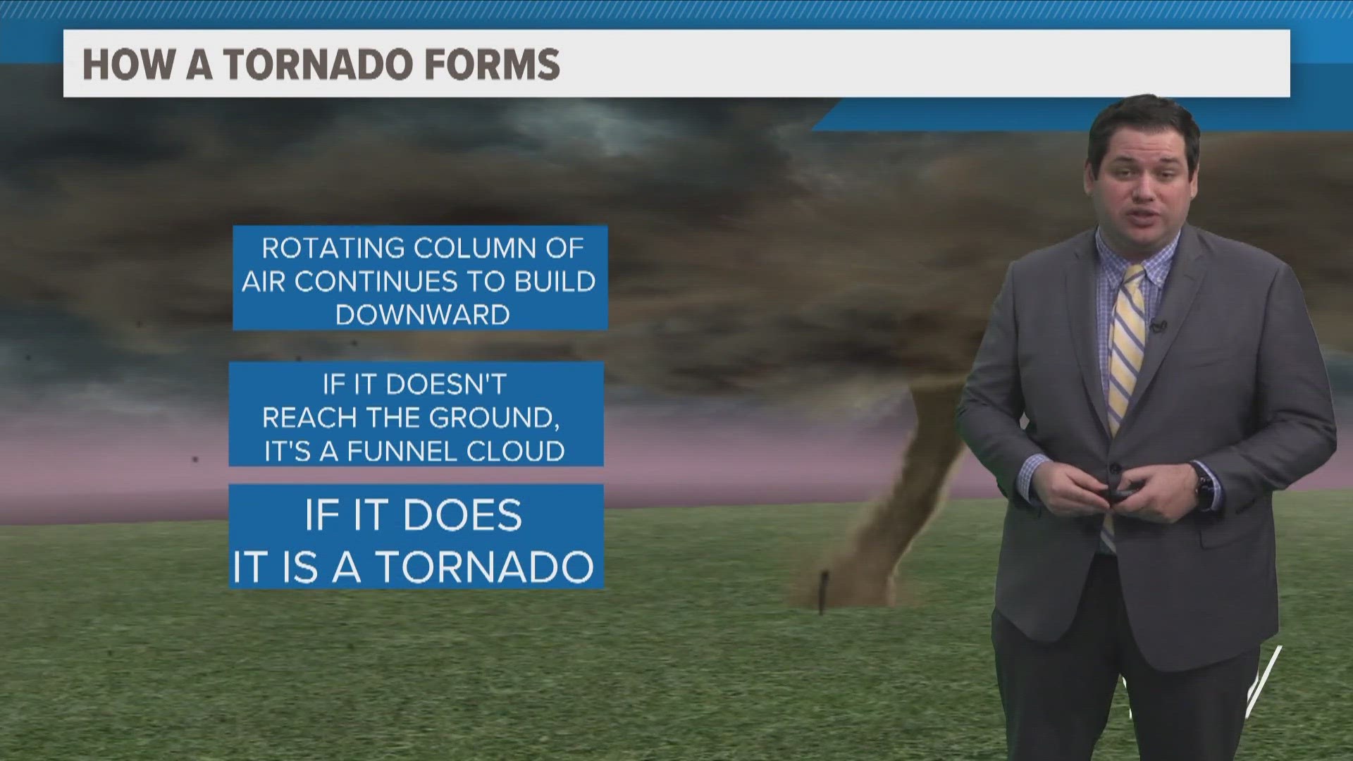
If this rotation becomes strong enough, a storm can develop a wall cloud, which is a lowering of the cloud deck that rotates. If this becomes even more rapid, it will form a funnel cloud, which can become a tornado if it reaches the surface.


When it comes to tornadoes, they can be feet in width or more than a mile wide. This does not determine the strength.
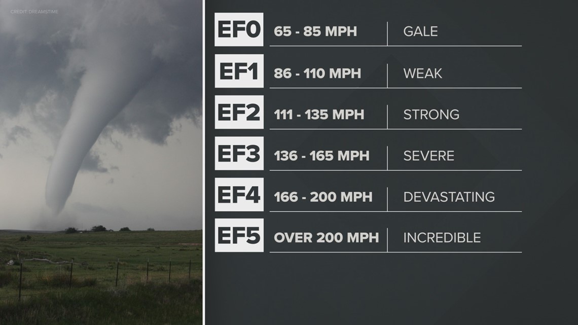
For that, we look at damage left behind to estimate wind speed. The Enhanced Fujita scale takes wind speeds and splits them into ratings from EF0 to EF5. Typically speaking, anything that is EF3 or higher can be considered catastrophic and typically leave behind injuries or even death in their path.


With all of this knowledge, it is time to talk about what you can do to keep yourself safe when a tornado warning is issued.
If you are in the path, you should immediately go to a basement or interior room of your house. You want to be as far away from windows and outward-facing walls as possible. Covering your body or head with a mattress or wearing a helmet can help keep falling debris from injuring you.
If you happen to be in your car and see a tornado, DO NOT park under an overpass. Try to get indoors or, if you must, find a spot where you can be in a low-lying spot outside of your car away from any potential debris.
If you have any pictures of storm damage when storms hit the Mid-South, we would love to see them if you can take a picture safely. Text photos, videos or reports to 901-321-7520.

