MEMPHIS, Tenn. — Spring officially begins on Sunday at 10:33am, and that means warmer weather and a more active weather pattern in the Mid-South.
The National Oceanic and Atmospheric Administration (NOAA) recently released their annual spring climate outlook, which highlights an increased chance of above-average temperatures and below-average precipitation.
The report expects drought conditions to continue or get worse in the western half of the country. However, continued snow melt and spring rainfall could pose a minor flooding concern in the eastern half of the country, including along the Mississippi River in Memphis.
As far as temperatures, NOAA says the southern half of the country is likely to see temperatures above average, with only the far Pacific Northwest likely to see cooler-than-normal temperatures.
Because of the clashing of warm and cold air masses, the spring months are often when the Mid-South experiences more active severe weather. In fact, most tornadoes in this area occur in April and May.
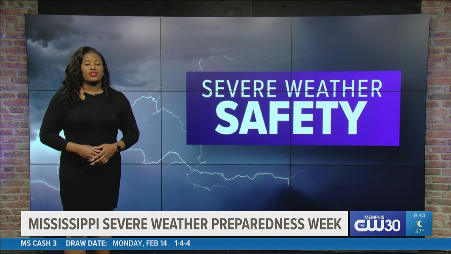
While it's not possible to pinpoint exactly how much severe weather will occur or when it may strike, it's always a good idea to have a plan and know what to do the next time rough weather is on the radar.
- Know the difference between a watch and a warning
- Have multiple ways to get weather alerts when one is issued
- Make a weather safety plan and regularly practice it with your family
- Know where the safest place is in your home and office if a Tornado Warning is issued
- Check to see if you live in a flood-prone area and have a plan if flood waters rise

