MEMPHIS, Tenn. — Severe Weather Awareness Week in Tennessee is next week. Before covering specific types of severe weather and the risks they pose for the Mid-South, it is important to talk about the timing and types of weather we see in the first place.
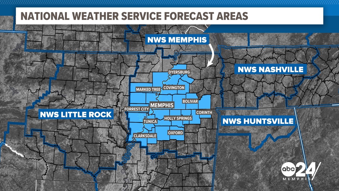
The numbers we will be using include the entire region that the National Weather Service in Memphis forecasts for. This includes some areas outside of the ABC24 viewing area but is still representative of the weather that we see in the Mid-South.
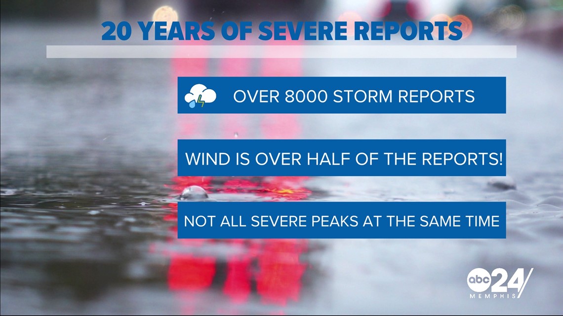
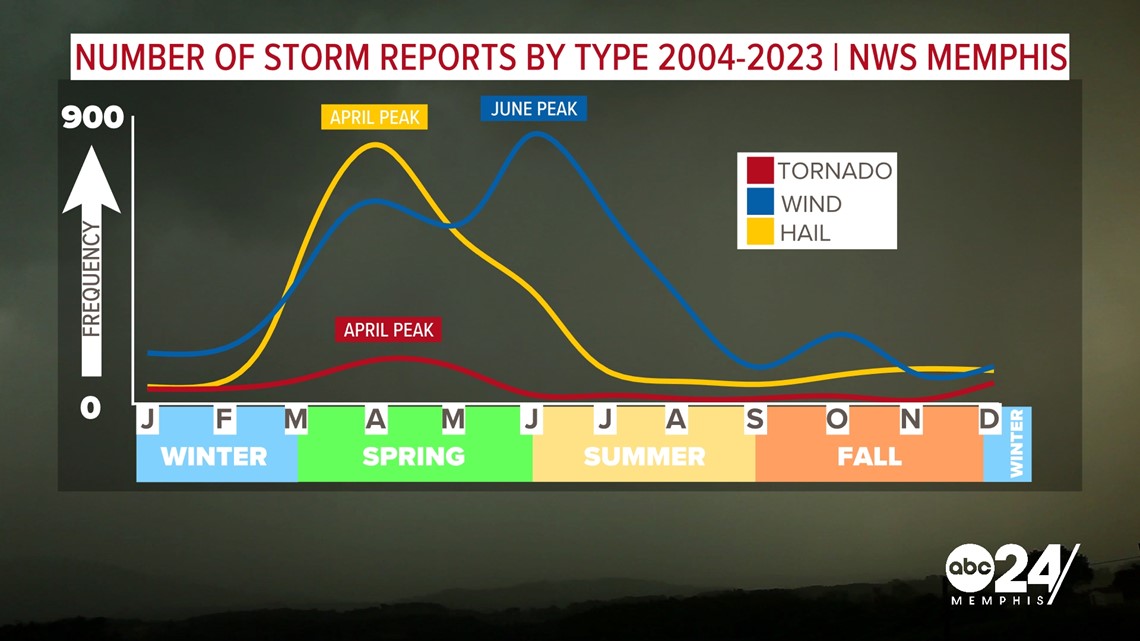
In the past 20 years, the NWS has recorded 8,135 severe storm reports. This amounts to over 400 reports on average a year in the region. When diving into those numbers, over half of these reports are from severe thunderstorm wind damage, followed by hail, and then tornadoes for the most reports during this timeframe.


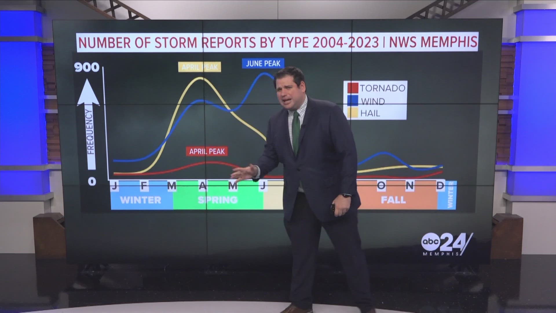
An interesting thing we can take from this data is that there are two distinct severe seasons here in the Mid-South. The first one is the traditional spring severe season where tornadoes and hail are most likely to be risks. The summer emerges as the peak time though for seeing wind damage in the Mid-South.

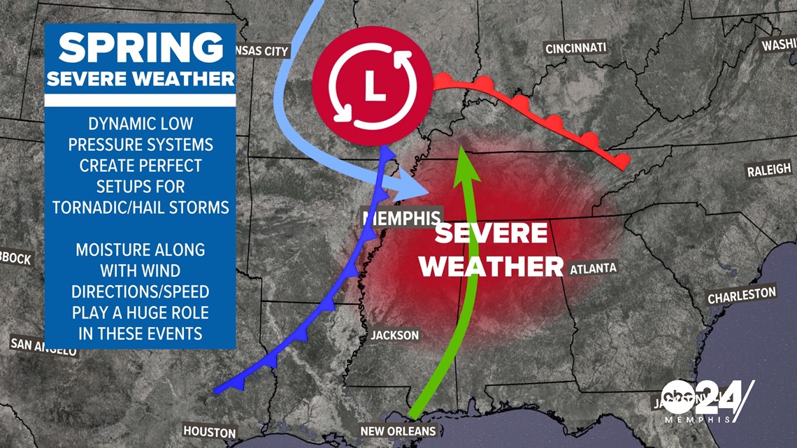
When it comes to the spring season, low-pressure systems are the way that we get most of our severe weather. These dynamic systems pull deep Gulf of Mexico moisture into the Mid-South and use the changing direction of winds to create spin in the atmosphere. These ingredients lead to severe weather outbreaks that create tornadic storms as well as storms that can produce large hail.

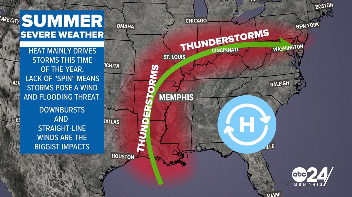
When it comes to the summer months, the intense heat creates what we call convective thunderstorms. The storms are driven by the heat and moisture in the atmosphere and create strong winds in the form of downbursts. We can sometimes see intense lines of storms called Derechos that can cause widespread damage.

